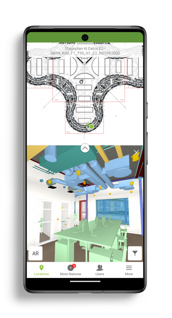
With Dalux InfraField, you’ll always know where you are – on WMTS maps, in your BIM models, and with GPS when you are standing on site. The simple interface allows you to work location-based on civil or infrastructure projects of any scale, and to see 3D models in the spatial context of GIS data, bringing immediate value to the construction on linear assets.
A BIM Viewer a leggyorsabb és legjobb módja annak, hogy a BIM modelleket az összes projekttag kezébe juttassa, akár az építési területen.
Köszönjük, hogy regisztrált!
Nyissa meg levelezési postaládáját, hogy hozzáférjen a Dalux projektjéhez és befejezze a regisztrációt!

Our BIM Viewer is the fastest and best way to get your BIM models on site and in the hands of all project members.
Thanks for signing up!
Go to your email inbox to access your Dalux project and finish the registration.
