- +46 40 66 88 747
przykład wykorzystania dronów na realizacjach Trakcja S.A.
– wykorzystanie ortofotomapy do śledzenia postępów robót
– możliwości wyświetlania oraz domiarów chmury punktów
– porównywanie chmury punktów z modelem
– wykorzystanie rysunków, modeli, współpraca z GIS


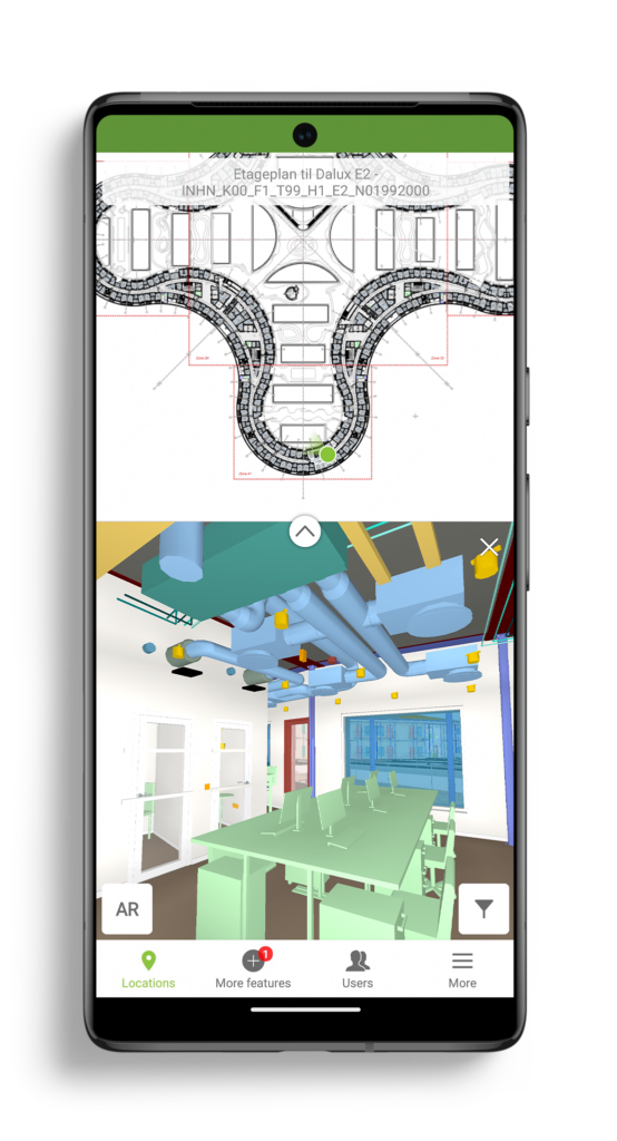
Our BIM Viewer is the fastest and best way to get your BIM models on site and in the hands of all project members.
Thanks for signing up!
Go to your email inbox to access your Dalux project and finish the registration.

Vår BIM Viewer är det snabbaste och bästa sättet att få ut BIM-modeller på plats och i händerna på alla projektmedlemmar.
Tack för att du registrerade dig!
Gå till din Inbox för att komma åt ditt Dalux-projekt och slutföra registreringen.
