- 312-489-8494
przykład wykorzystania dronów na realizacjach Trakcja S.A.
– wykorzystanie ortofotomapy do śledzenia postępów robót
– możliwości wyświetlania oraz domiarów chmury punktów
– porównywanie chmury punktów z modelem
– wykorzystanie rysunków, modeli, współpraca z GIS


A BIM Viewer a leggyorsabb és legjobb módja annak, hogy a BIM modelleket az összes projekttag kezébe juttassa, akár az építési területen.
Köszönjük, hogy regisztrált!
Nyissa meg levelezési postaládáját, hogy hozzáférjen a Dalux projektjéhez és befejezze a regisztrációt!

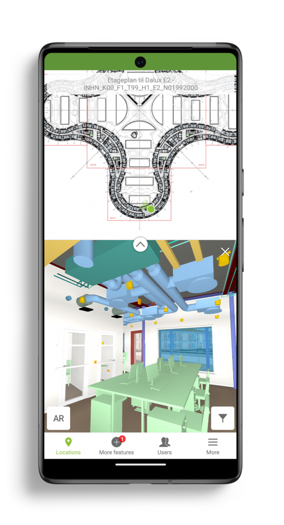
Our BIM Viewer is the fastest and best way to get your BIM models on site and in the hands of all project members.
Thanks for signing up!
Go to your email inbox to access your Dalux project and finish the registration.
